
Geodesy & Geodynamics
Precision positioning for a moving continent
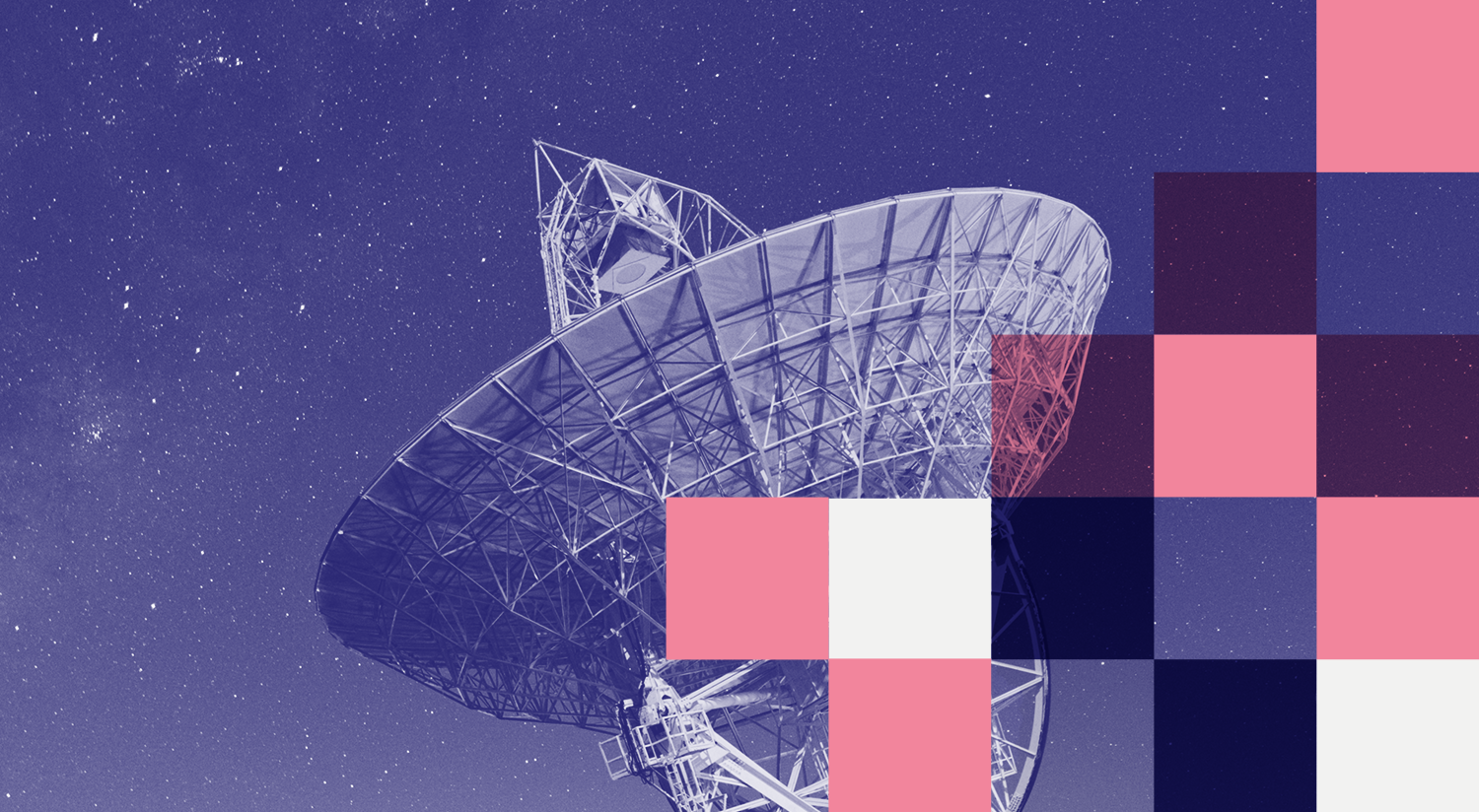
Positioning Australia: A radio telescope of the Mt Pleasant Observatory in Tasmania. AuScope funded the purchase of one of three dishes at this facility. Image: ©Mo Khodajouei
AuScope’s Geospatial & Geodesy program supports high-precision positioning and Earth observation across Australia. By investing in nationally coordinated geodetic infrastructure, the program underpins research in natural hazards, climate change, and Earth system science, while enabling efficiencies across industries that rely on accurate location information.
Our work supports the development of Australia’s dynamic national reference frame and enables the next generation of positioning infrastructure led by Geoscience Australia.
Overview
Over the past decade, AuScope has invested in nationally significant geospatial and geodetic infrastructure to improve the accuracy and reliability of Australia’s reference frame.
This infrastructure underpins many of Geoscience Australia's operational geodetic observations. These observations support the development of a dynamic datum that accounts for ongoing crustal movement and are essential for high-precision location services used across sectors such as agriculture, construction, mining, disaster management, and environmental monitoring.
What we’re working on
Supporting Australia’s next generation national positioning infrastructure through sustained geodetic observations
Enabling precise measurement of crustal deformation to improve understanding of tectonic processes and natural hazards
Providing nationally shared geospatial and geodetic infrastructure for research and operational use
Maintaining trusted geodetic data streams that support long term monitoring of Earth system change
Research facilities and tools


AuScope’s Geospatial & Geodesy investment includes nationally shared infrastructure such as:
Very Long Baseline Interferometry
Satellite Laser Ranging
Global Navigation Satellite Systems
Gravity measurement instruments
Australian Geophysical Observing System
Deployable GNSS instrument pool
Geodetic antenna calibration facilities
Design and installation of geodetic monument arrays
Remote sensing data portals
Together, these facilities enable precise positioning, satellite tracking, gravity measurement, and long-term geodetic monitoring across Australia.
Access
AGOS geospatial equipment is available for loan and is well suited to GNSS related geospatial and geophysical experiments. Access is prioritised according to the AGOS Geospatial Selection Criteria. Researchers submit a short proposal to the AGOS Access Committee. Training is provided, and applicants are required to cover operating costs.
The equipment pool includes geodetic GNSS receivers, antennas, and solar panels. The Access Committee meets quarterly, and successful applicants must enter into a project agreement.
For access information and application support, contact: clientservices@ga.gov.au
Impact
Explore recent case studies and highlights that show how AuScope enabled geospatial and geodetic infrastructure is supporting research, industry, and international collaboration.


AuScope investments in geospatial and geodesy capability have enabled outcomes including:
Improved satellite calibration and validation for international space agencies
Enhanced severe weather forecasting using GNSS meteorology
Increased accuracy and reliability of national positioning services
Stronger integration of Australian infrastructure into global geodetic networks
Geodesy & Geodynamics in the media


Looking ahead
Data produced through Australia’s geospatial and geodetic infrastructure will underpin research and operational services over the coming decade.
Improved measurements of movement at unprecedented accuracy will support the development of a new national geospatial reference frame that is significantly more precise than those currently in use. This dynamic reference frame will account for continual crustal movement, supporting both scientific research and practical applications that depend on accurate positioning.
Our News


PROGRAM LEADER
Lisa Hall
Geoscience Australia

COLLABORATORS
Geoscience Australia
DURATION
Since 2006
QUICK LINKS
AuScope VLBI Project Facebook Page
AUSTRAL VLBI observing program
AuScope geodetic VLBI array
The AuScope VLBI Project